Thank you for searching for consultancy assistance in Earth Observation and Remote Sensing. Perhaps we can help ?
Earth Observation Consultants International ( EOCI ) works with users
To better understand and use environmental data from Earth Observation satellites and airborne systems
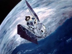
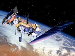
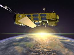
Earth Observation satellites and aircraft use Remote Sensing techniques to image the surface of the Earth.


